
I Found the Hand Drawn Maps Association through the Howies website (we like the Howies ethos as well as their gear!) so posted a map of our favourite walk in the area that we share with visitors. We’ve got a Google Map version now too (further below) but we’ll put the freehand version in as well!
The submission to the Hand Drawn Maps Association was accepted, and the Bottom Bay walking tour now takes pride of place!
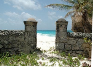
Here it is: “Our Favourite Walk”
We found another great site for mapping out walking/cycling routes using Google Maps. It’s called MilerMeter.